Why Extreme-Weather Forecasting Matters More Than Ever
Extreme weather events like heat waves, floods, hurricanes, wildfires, and droughts are growing more frequent and intense as the climate warms. Saving lives, safeguarding infrastructure, and directing emergency responses depend heavily on precise and prompt forecasts. Driven by breakthroughs in climate models and an explosion in satellite data, forecasting capabilities have advanced significantly over the last twenty years. Combined, these instruments are reshaping the way scientists spot, anticipate, and convey the dangers of severe weather.
Contemporary Climate Models: Transitioning from Broad Averages to Granular Precision
Climate models act as computer simulations designed to capture the physical, chemical, and biological processes of the Earth system. Past generations concentrated on long-term averages across broad spatial scales, which proved helpful for grasping global shifts yet restricted when examining localized extremes. Modern models offer vastly superior capabilities today.
Key improvements include:
- Higher spatial resolution: Global models now simulate grid cells as small as 10–25 kilometers, while regional models can reach 1–4 kilometers. This allows explicit representation of thunderstorms, mountain effects, and coastal processes that drive extreme rainfall and winds.
- Better physical processes: Advances in cloud microphysics, land–atmosphere coupling, and ocean dynamics improve how models simulate heat waves, flash floods, and tropical cyclones.
- Earth system integration: Modern models link the atmosphere with oceans, ice sheets, vegetation, and soils, enabling better prediction of compound events such as heat waves combined with drought or storm surge combined with heavy rain.
For example, high-resolution hurricane models now capture rapid intensification events that were poorly forecast two decades ago. According to operational centers, track forecast errors for major tropical cyclones have decreased by more than 50 percent since the early 2000s.
Ensemble Forecasting and Probabilistic Insight
A single model run cannot capture all uncertainties. To address this, forecasters use ensemble modeling, running dozens or hundreds of simulations with slightly different initial conditions or model physics.
This approach:
- Estimates the probability of extreme outcomes rather than a single deterministic forecast.
- Improves early warning for rare but high-impact events, such as once-in-50-year rainfall.
- Supports risk-based decision-making for emergency managers and insurers.
For heat waves in Europe and North America, ensemble forecasts now provide reliable warnings up to 10 days in advance, compared with about 3 to 5 days in the early 2000s.
The Satellite Revolution: A Global, Continuous Eye
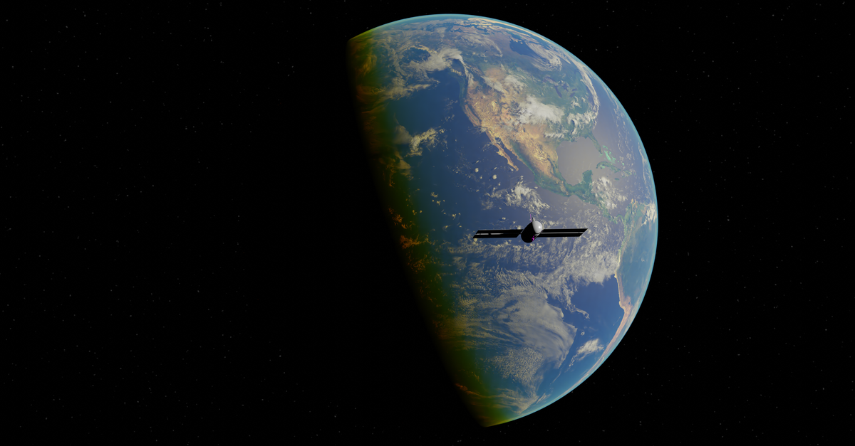
Satellites supply the observational foundation for contemporary weather and climate forecasting. Continuous, near-real-time data is delivered across vast oceans, remote deserts, and polar expanses where ground-based observations remain scarce.
Critical satellite contributions include:
- Atmospheric profiling: Instruments measure temperature, humidity, and wind throughout the atmosphere, essential for initializing models.
- Storm monitoring: High-frequency imagery tracks the development of hurricanes, severe storms, and atmospheric rivers.
- Surface conditions: Satellites observe sea surface temperatures, soil moisture, snow cover, and vegetation stress, all of which influence extremes.
For instance, satellite-derived rainfall measurements have greatly enhanced flood prediction across areas like South Asia and sub-Saharan Africa, where rain gauge systems are sparse.
Data Assimilation: Turning Observations into Forecast Skill
Satellite data do not improve forecasts automatically. They must be integrated into models through data assimilation, a mathematical process that blends observations with model physics to create the best estimate of the current state of the atmosphere and oceans.
Modern assimilation systems:
- Process millions of daily satellite readings.
- Eliminate model biases and minimize errors in initial conditions.
- Enhance predictions for fast-moving extreme weather events like severe convective storms.
Studies show that satellite data assimilation accounts for more than half of the overall improvement in global weather forecast accuracy since 1980.
Artificial Intelligence and Hybrid Approaches
Traditional physics-based models are now frequently paired with machine learning and artificial intelligence. Such techniques prove exceptionally capable of spotting trends across massive amounts of data while simultaneously adjusting for systematic flaws.
Applications include:
- Translating global forecasts into neighborhood-level insights.
- Quickly spotting extreme rainfall or wind trends through satellite imagery.
- Refining model outputs to boost precision and dependability.
In wildfire forecasting, AI systems combining satellite fire detections, weather models, and vegetation data now predict fire spread with unprecedented speed and precision.
Real-World Impacts and Case Studies
The combined power of climate models and satellite data has tangible benefits:
- Flood forecasting: Improved rainfall estimates and river models enabled earlier evacuation during recent major flood events in parts of Asia and Europe.
- Heat health warnings: Cities use advanced heat forecasts to trigger public cooling centers and emergency services, reducing heat-related mortality.
- Storm surge prediction: Coupled ocean–atmosphere models help coastal communities prepare for compound flooding from storms and sea-level rise.
Economic studies indicate that every single dollar put into enhanced meteorological forecasting generates multiple dollars in prevented losses and emergency response expenses.
A Forward-Looking Perspective
Climate models and satellite data are no longer separate tools; they form an integrated system that continuously learns, adapts, and improves. As computing power grows, satellite missions expand, and artificial intelligence matures, extreme-weather forecasting will become more localized, more probabilistic, and more actionable. The true measure of progress lies not only in scientific accuracy, but in how effectively these forecasts support communities facing a future where extremes are no longer exceptions, but defining features of the climate system.